Cyclonic Circulation Likely Over Andaman Sea
A fresh cyclonic circulation may form over the Andaman Sea, leading to potential low pressure in the Bay of Bengal
By : DC Correspondent
Update: 2024-10-17 12:29 GMT

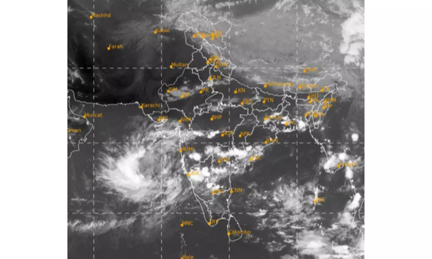
Visakhapatnam: A fresh upper air cyclonic circulation is very likely to form over North Andaman Sea around Oct 20.
Stating this on Thursday, IMD, Amaravathi said that under its influence, a low pressure area is likely to form over Central Bay of Bengal around Oct 22. “Thereafter, it is likely to move north-westwards and intensify further.”
Meanwhile, the well-marked low pressure area over south coastal Andhra Pradesh and adjoining north coastal Tamil Nadu persisted. The associated cyclonic circulation extended upto 5.8km above mean sea level, tilting south-westward with height. It is likely to move west-north-westward and weaken further into a low pressure area, it said.
Private weather website Skymet said, “A cyclonic circulation is likely to appear over the North Andaman Sea and adjoining east-central Bay of Bengal on Oct19 or 20. “The system will enter the region from the Myanmar-Thailand side as a spill-over of the cyclonic circulation moving across the Gulf of Martaban and the Arakan Coast.”
The circulation is likely to get organized further and move to the central parts of the Bay of Bengal on October 21 and 22.
As a climatological norm, the low-pressure areas over the Indian seas have the potential to strengthen into tropical storms. Availability of heat potential and sufficient sea travel remain the mandatory conditions. The entire coastline from Odisha, West Bengal, Bangladesh and Myanmar is vulnerable to the storm strike, it said.


