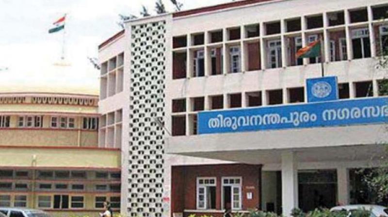
Thiruvananthapuram: Corporation launches survey of city\'s GIS-based map
Plan is to accurately mark the boundaries of each ward.

Thiruvananthapuram: The city corporation has launched a detailed survey for an updated GIS-based map of the state capital as part of preparing the draft master plan.
The plan is to accurately mark the boundaries of each ward with the help of ward councillors. According to officials, a special team would be physically surveying every road, bylanes and other landmarks and update on the GIS map to strengthen the draft master plan.
Town Planning Standing Committee chairman Palayam Rajan said that mapping of ten wards was over.
"We have constituted a special, technically qualified team for the job. The team would be doing the survey and upgrading the map. Even the by-lanes of each ward would be on the map," he said.
"The team, with the help of ward councillors, would mark the boundaries. Currently, the boundaries are mostly based on assembly constituencies and census. We need a clear picture of the boundaries in the new master plan."
He said they had already completed 90 per cent of the ongoing field survey.
"Our actual plan was to table the draft master plan in the council by December. Because of the election and floods, we wouldn't be able to do that. As per the current timeline, we will be able to finalise the draft by February," he said.
The civic body is also planning to hold a seminar on the master plan ahead of finalising it to provide a platform for the public to voice their views.
"The stakeholders' meeting of each working group of the master plan would be held in the coming weeks. Experts from each field would be brought in for a discussion on the plan," he added.

