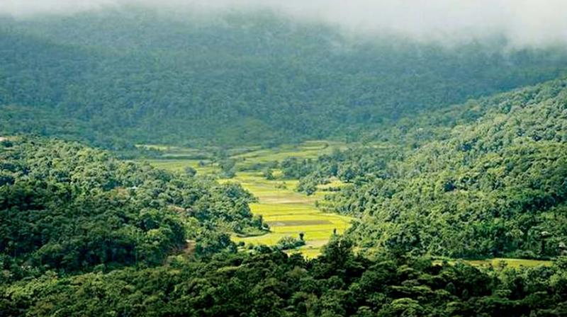
3,000 hectares of Karnataka green cover lost between 2001-17

Bengaluru: India, from 2001 to 2017, lost 1.54 million hectares of tree cover, while Karnataka lost 35 kilohectares (Kha), according to the Global Forest Watch – an initiative of the World Resources Institute (WRI).
Satellite images of 2010 showed the state having 1.52 Mha of tree cover, covering 8% of its land area. But in 2017, it lost 3.06 Kha of tree cover.
Bengaluru, Bengaluru Rural, Bidar, Raichur, Haveri, Hassan, Kolar, Udupi, Dakshina Kanada and Shivamogga were responsible for 52 per cent of all tree cover loss between 2001 and 2017.
Dakshina Kannada and Udupi lost more than 70 per cent of total tree cover.
Because of this, between 2001 and 2017, a total of 58.1 Mt of carbon dioxide (3.42 Mt per year) was released into the atmosphere.
Neighbouring Kerala and Goa too have a dismal record in tree cover loss, while in Andhra Pradesh and Tamil Nadu, the percentage of tree cover loss is fairly less.
One of the major reasons for this loss in the state is rapid urbanisation, covering even tourist spots in Kodagu and nearby areas, experts said.
The six north-eastern states – Nagaland, Tripura, Meghalaya, Mizoram, Manipur and Assam – known for their greenery, account for 62% of all tree cover loss between 2001 and 2017. Nagaland had the most relative tree cover loss at 14%.
The tree cover data set is a collaboration of the University of Maryland, Google, US Geological Survey and the National Aeronautics and Space Administration to map tree cover at 30-metre resolution.
Big culprits
Bengaluru, Bengaluru Rural, Bidar, Raichur, Haveri, Hassan, Kolar, Udupi, Dakshina Kanada and Shivamogga were responsible for 52 per cent of all tree cover loss in the state between 2001 and 2017.

