98 villages, 5 layouts among 105 eco-sensitive spots in Kodagu

Mysuru: With hardly a week left for the South West Monsoon to hit Karnataka, the Geographical Survey of India (GIS) has identified 105 sensitive/vulnerable places in Kodagu including 98 villages and five layouts in Madikeri town and the entire Virajpet and Kushalnagar towns which are likely to be affected by heavy rains.
The Kodagu district administration has appointed 25 nodal officers and each nodal officer has been assigned the responsibility of a few areas to take elaborate precautionary measures to handle any emergency and ensure the safety of people, according to Kodagu DC Ms Annies Kanmani Joy.
She said the nodal officers are inspecting their areas and checking if emergency work has to be taken up. They are also identifying locations for shelter camps and the vulnerable population including sick and pregnant woman and the elderly who may have to be shifted. They have set up village level committees and are training people to coordinate with the district administration in case of an emergency, the Deputy Commissioner said.
She added that, special task forces are being formed by the police, fire and emergency services, CHESCOM, PWD, panchayatraj engineering department, NHAI, Pradhan Manthri Gram Sadak Yojana, minor and major irrigation dept, health, veterinary and forest departments to deal with any emergency.
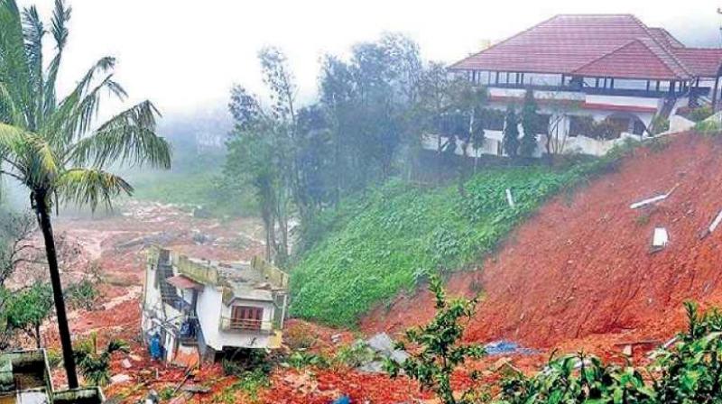
During the South-West Monsoon last year, Kodagu was hit by floods and landslides due to the highest rains in 118 years. As many as 20 people died, 829 people lost their homes and 7,594 people were rescued and housed at 51 relief centres. A total 160 villages were affected and thousands of hectares of plantations and agricultural land were destroyed.
Thousands of km of roads were damaged and connectivity was also hit.

