Chennai: Traders in Purasawalkam against metro's phase II map
If the project is taken up, as per the recent map, more than 350 shops would be demolished, complained traders in the area.

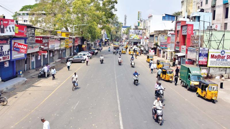
Chennai: The usually bustling commercial hub, Purasawalkam, wore a deserted look on Tuesday after traders downed the shutters, following no reply to the draft proposal of phase two Chennai metro rail connecting peripheral roads of Purasawalkam. If that comes up, hundreds of traders in the area who have been doing business for generations have to vacate, they rued.
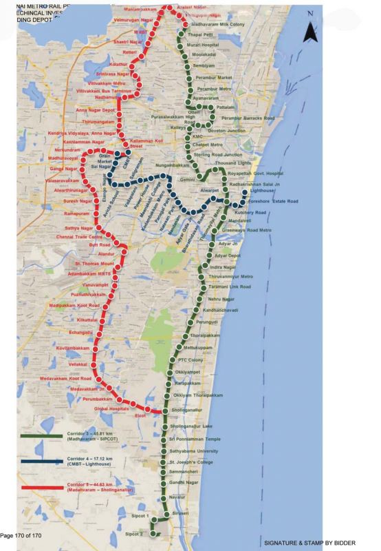
“The phase two map, which was drafted two years ago did not include Purasawalkam at all. The tracks would go via Otteri Bricklin Road and go to Kellys followed by Chetpet. However, the recent map is connecting Perambur Barracks Road, Doveton junction, Purasawalkam High Road, Kellys and Kilpauk Medical College before reaching Chetpet,” said S. Nagabhushanam, president, Purasawalkam traders association.
If the project is taken up, as per the recent map, more than 350 shops would be demolished, complained traders in the area. In the proposed line, there are 64 buildings with at least three shops in each structure. Nagabhushanam added that a petition against this was given to the metro rail authorities three months ago, but they said they were awaiting Centre’s nod.
“When a few people said that eviction notices would soon be issued to the traders doing business along the lines of proposed tracks, we have decided on a protest.” One of the traders in the area, K. Abdullah, said that their business was badly affected for nearly a decade owing to the construction of Purasawalkam flyover. We do not want a repeat of what happened at Anna Nagar when hundreds of traders had to vacate for metro project, he said.
The phase two of Chennai metro approximately runs 107.55 km long and involves the construction of three new lines -- Madhavaram - Sipcot (45.77 km), Light House - CMBT (17.12 km) and Madhavaram - Sholinganallur (44.66 km).


