Sort out Munnar geology, says expert
Demarcate stable, unstable, intermediate zones, says Dr A.V. George.

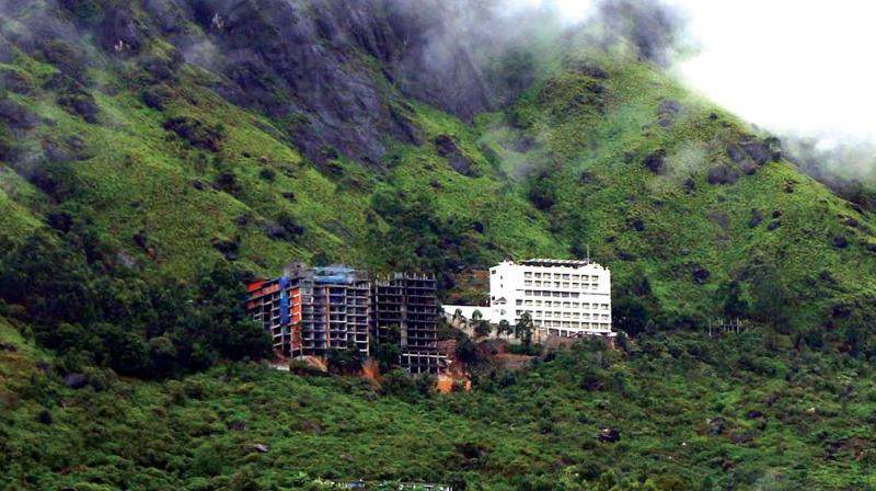
KOTTAYAM: The Munnar area should be separated into specific geological zones given the continuous rains and many landslides, an expert suggests. Dr A.V. George, the former head of the department of geology and environmental sciences at the Christ College, Irinjalakuda, says it should be divided into stable, unstable and intermediate zones after a thorough geological study to avert landslides. The expert in structural geology had identified 12 sites and submitted a report to the Western Ghats cell of planning and economic affairs department.
He had conducted studies in the region on the 'identification of landslide-prone areas in between Munnar and Thekkady for three years as part of a research project. He says any construction activities in the region should be based on geological studies. After he submitted the report, landslides occurred in four identified locations causing massive losses in the subsequent years. However, there was no follow-up.
The report demands the government to take the initiative for a detailed study in high ranges for preventing loss of property and loss of life. "The critical zones should be demarcated as stable, unstable and intermediate zones. The slope studies should be ensured for the building and road construction," he told DC. He said if the rainfall was above 20 mm it is a causative factor for landslides.
The lack of forest cover is a factor which precipitates the occurrence of the landslides here. The continuous events can accelerate flash floods. According to the study conducted by the Indian Institute of Technology, Roorkee, if the water level is suddenly increased as a result of flash floods, the shutters of the Mullaperiyar dam could not be raised all of a sudden. Ultimately, it will lead to the dam break as it is a gravity type dam, it says.

