India Raises Concern Over satellite images of Great Coco Islands

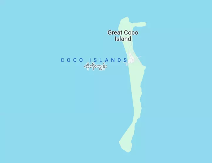
NEW DELHI: India has raised concern over the emerging satellite images of renewed construction activities in Myanmar’s isolated Great Coco Islands, located barely 55 kilometres north of the strategic Andaman and Nicobar Islands.
In the past, there have been allegations of the Chinese military using the Great Coco Islands as a listening post to spy on activities within India.
The Andaman and Nicobar Islands come under India’s only operational tri-services command — Andaman and Nicobar Command — and have a number of strategic Naval and Air Force bases.
The construction activity on the island is a matter of concern for India due to Myanmar’s military junta’s close relationship with China.
“The islands are experiencing a steady makeover, with telltale signs of military modernisation and facilities to support aircraft. The latest images reveal that Myanmar may soon be intending to conduct maritime surveillance operations from Great Coco Islands,” wrote Damien Symon, a geospatial intelligence researcher at the Intel Lab and John Pollock in Chatham House.
It said that visible are two new hangars, a new causeway and what appears to be an accommodation bloc, all of which are visible in proximity to a freshly lengthened 2,300-metre runway and radar station.
It said that visible as of late March on the southern tip of Great Coco, just beyond the causeway connecting the islands, is evidence of land clearing efforts indicating construction work to come.
Defence minister Rajnath Singh had in January visited Andaman and Nicobar Command —headquarters in Port Blair — and reviewed the operational preparedness. This was the first visit of the defence minister to Indira Point since January 2019. He had also visited the southernmost Air Station of the Indian Armed Forces, INS Baaz, at Campbell Bay in Great Nicobar Island.

