Low Pressure to Trigger Heavy Rains in AP From Today

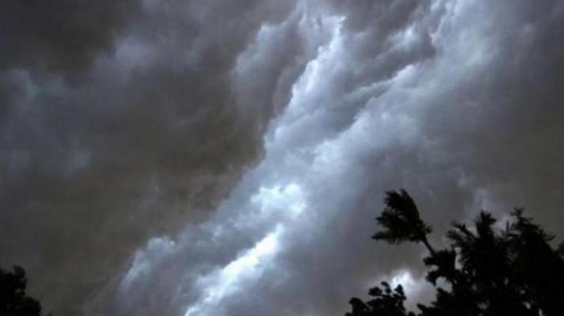
Heavy rains forecast for Andhra Pradesh as low-pressure forms over Bay of Bengal, IMD warns. (DC file photo)
Visakhapatnam: A fresh low-pressure area likely to form over central parts of south Bay of Bengal on Monday may trigger heavy to very heavy rains in parts of south coastal Andhra Pradesh and Rayalaseema during the next three days, IMD Amaravati forecast in its report on Sunday.
The report said cyclonic circulation over southeast Bay of Bengal and adjoining equatorial Indian Ocean moved west-north westwards and lay over southeast Bay of Bengal, extending up to 5.8 km above mean sea level.
Under its influence, a low-pressure area is likely to form over central parts of south Bay of Bengal on Monday. It is expected to become a well-marked low pressure area and move west-north westwards towards north Tamil Nadu, Puducherry and adjoining south Andhra Pradesh coasts during subsequent two days.
Isolated heavy rainfall is expected in parts of Krishna, Bapatla, Prakasam, Nellore, Tirupati, Annamayya and Chittoor districts on Monday, October 14. Heavy to very heavy rainfall is likely in Prakasam, YSR Kadapa, Nellore, Annamayya and Tirupati districts and heavy rainfall is likely in parts of Bapatla, Sri Sathya Sai and Chittoor districts on Tuesday, October 15.
The IMD forecast heavy to very heavy rainfall with extremely heavy rainfall in parts of Tirupati, Annamayya, Chittoor and Sri Sathya Sai districts and heavy to very heavy rainfall in parts of Anantapur, YSR Kadapa, Prakasam and Nellore districts on Wednesday, October 16. Heavy rains are also likely on the day in a few parts of Kurnool, Nandyal and Bapatla districts.
Isolated heavy to very heavy rainfall is expected in parts of Anantapur, Sri Sathya Sai and Chittoor districts on Thursday, October 17. Heavy rains are expected on the same day in parts of Visakhapatnam, Anakapalle, Vizianagaram, Prakasam, Nellore, YSR Kadapa, Annamayya and Kurnool districts.
Following the heavy rain forecast for the next 3–4 days, AP government has decided to set up control rooms and helplines in various districts. Top officials have directed that teams be kept ready to tackle the heavy rains and take mitigating measures.
( Source : Deccan Chronicle )
Next Story

