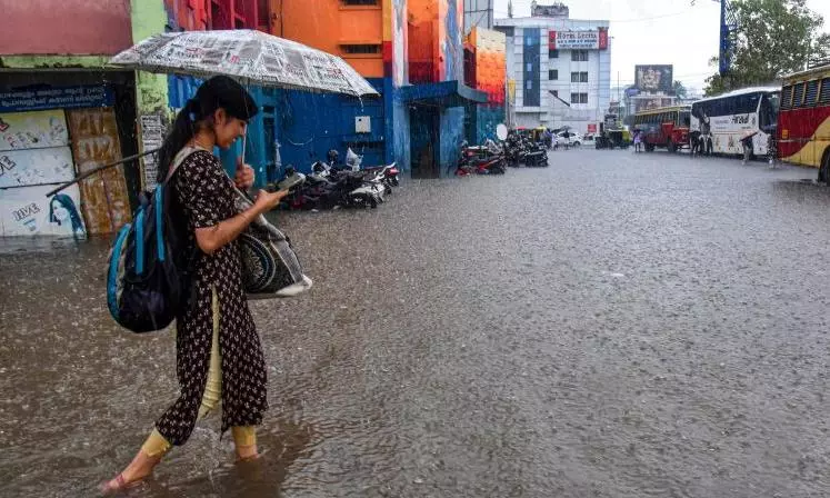
North Coastal AP To Get More Rain: IMD

Visakhapatnam: North coastal Andhra Pradesh is likely to get more rains due to a low pressure area that will form over west central Bay of Bengal by Monday, an India Meteorological Department (IMD), Amaravati, report said on Sunday. The report said an east-west trough runs from Andhra Pradesh coast to south coastal Myanmar with two embedded upper air cyclonic circulations, one over west central Bay of Bengal and the other over south coastal Myanmar and its neighborhood and extends up to 5.8 km above mean sea level.
The second upper air cyclonic circulation is likely to move west-north westwards.
Under the influence of these two upper air cyclonic circulations, a low-pressure area is likely to form over west central Bay of Bengal and its neighborhoods on Monday.
Under the influence of these weather systems, during the next three days (September 23 to September 25), light to moderate rain or thundershowers are very likely to occur in many places of Andhra Pradesh with heavy rainfall at one or more places in north coastal AP, Palnadu, Krishna, NTR, Guntur Bapatla, Kurnool, Nandyal, Anantapur, Sri Satya Sai and YSR districts.
During the last 24 hours ending 8.30 am on Sunday, Gooty in Anantapur district had the highest rainfall of 9.6 cm. Gajapathinagaram (Vizianagaram) 4.4 cm, S. Kota (Vizianagaram) 4.2 cm, Veeraghattam (Parvathipuram Manyam) 3.5 cm, Tadpatri (Anantapur) 4.6cm.

