Notable Increase in AP’s Mangrove Cover

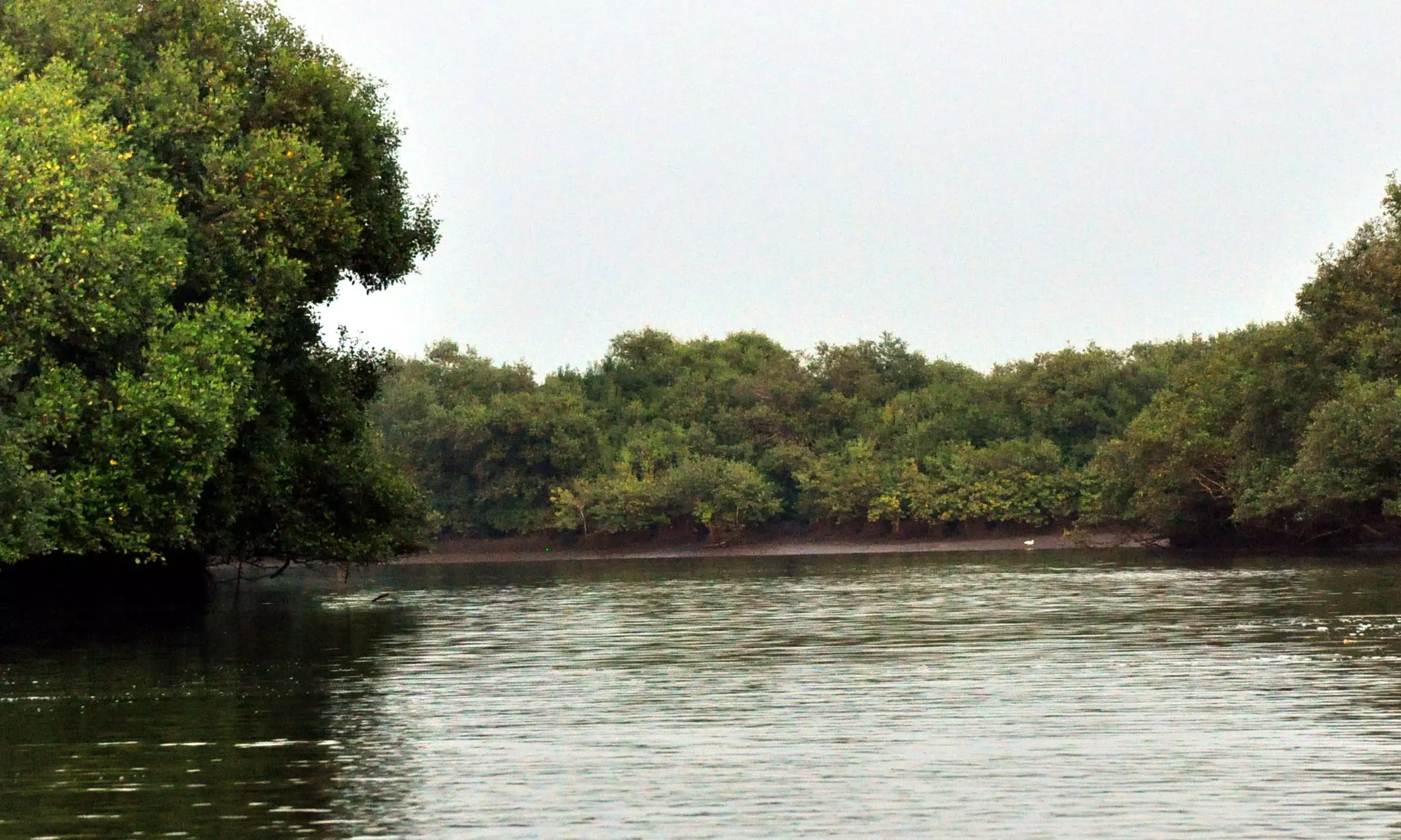
Visakhapatnam: The mangrove cover in Andhra Pradesh shows a substantial increase, reflecting effective conservation efforts and a commitment to environmental sustainability.
As per the latest raster-based assessment, the mangrove area in the state a year ago was 421.43sq-km, an increase from 408.42sq-km in 2021.
This growth of 13.01sq-km can be attributed to natural regeneration, plantation initiatives, conservation activities and the identification of previously unaccounted mangrove patches.
The district-wise assessment is as follows:
Bapatla: In 2021, the mangrove composition included 35.25 km² of Moderately Dense Mangrove and 35.82 km² of Open Mangrove, totalling 71.07 km². By 2023, these figures reflect 35.26 km² of Moderately Dense Mangrove and 37.66 km² of Open Mangrove, resulting in a total of 72.92 km² -- a net increase of 1.85 km².
Eluru: The mangrove cover remains unchanged from 2021 to 2023, with an indication of 0.02 km² of Open Mangrove in both assessments.
Kakinada: The 2021 data show 79.17 km² of moderately dense mangrove and 33.60 km² of Open Mangrove, equating to a total of 112.77 km².
In 2023, the figures were consistent for moderately dense mangroves and show an increase in Open Mangrove to 34.62 km², resulting in a total of 113.79 km², signifying an increase of 1.02 km².
Konaseema: The assessment indicates a decrease in mangrove cover, with a decline from 75.09 km² in 2021 (47.08 km² moderately dense and 28.01 km² Open) to 74.42 km² in 2023 (46.95 km² moderately dense and 27.47 km² Open), reflecting a decrease of 0.67 km².
Krishna: The data from 2021 shows 49.43km² of moderately dense mangrove and 89.14km² of Open Mangrove, totalling 138.57 km². By 2023, these figures had improved to 50.74km² of moderately dense mangrove and 97.71 km² of Open Mangrove, resulting in a total of 148.45 km², indicating a significant increase of 9.88 km².
Prakasam: The mangrove cover reported in 2021 was 0.69 km², comprising 0.09 km² of moderately dense mangrove and 0.60 km² of Open Mangrove. The 2023 assessment shows a slight increase to 0.75 km², with 0.09 km² of moderately dense mangrove and 0.66 km² of Open Mangrove.
Sri Potti Sriramulu Nellore: In 2021, the district reported 8.65km² (1.61km² Moderately Dense and 7.04km² Open). In 2023, the total slightly increased to 8.66km², with 1.59km² of Moderately Dense Mangrove and 7.07km² of Open Mangrove.
Srikakulam: The assessment shows an increase from 0.28 km² of Moderately Dense Mangrove in 2021 to 0.82km² of Open Mangrove in 2023, reflecting a notable increase of 0.54km².
Tirupati: In 2021, the reported mangrove cover was 1.23km² (0.10km² Moderately Dense and 1.13km² Open). The 2023 data indicate a total of 1.29km², with 0.10km² of Moderately Dense Mangrove and 1.19km² of Open Mangrove, an increase by 0.06 km².
Visakhapatnam: The assessment reveals an increase in Open Mangrove from 0.05km² in 2021 to 0.31km² in 2023, marking a rise of 0.26km².
The notable increase of 13km² in Andhra Pradesh underscores the success of targeted conservation strategies, particularly within the districts of Krishna, Bapatla and Kakinada. These initiatives foster local biodiversity, enhance climate resilience and safeguard coastal communities, an official release here on Thursday noted.

