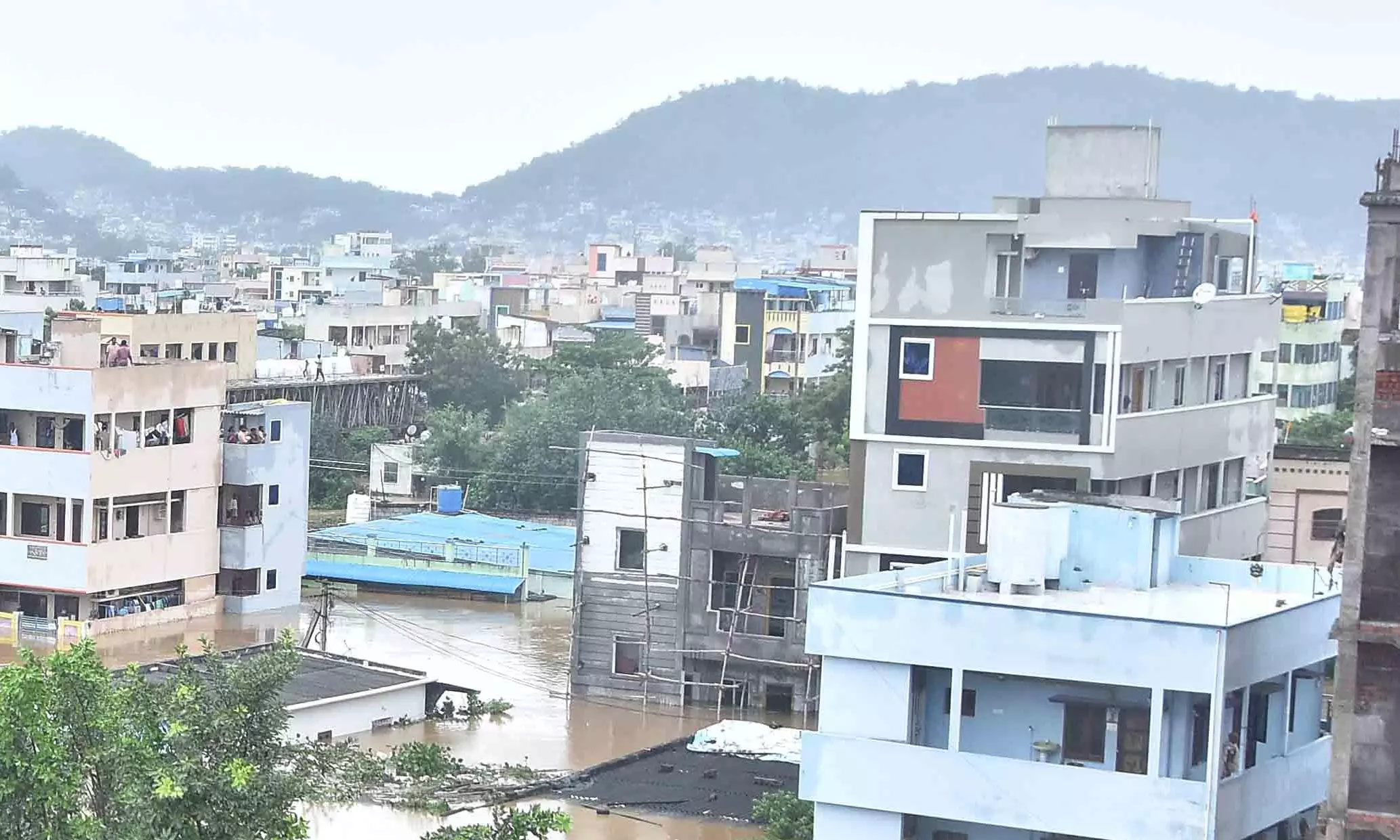
Rapid Urbanisation Puts Tirupati at Risk for Flooding

Tirupati: In the wake of the recent devastation caused by heavy rains and floods in Vijayawada and other coastal regions of Andhra Pradesh, the residents of Tirupati are gripped with anxiety, fearing that their city could face a similar disaster if the monsoon season brings intense rainfall.
Tirupati, nestled at the base of the Seshachalam Hills, is particularly vulnerable, having experienced flash floods in 2021. The city, located at the foot of the hills, is overshadowed by the Sri Venkateswara temple atop Tirumala. Rainwater from the Seshachalam Hills is channeled into Tirupati through two primary routes: one from Malavanigundam in the northeast and another from the southwest. These water channels flow towards Pedda Cheruvu, passing through the Peruru pond via SV Dairy Farm and MR Palli, making the area susceptible to flooding.
The Kapil Teertham and Malavanigundam waterfalls, along with about 20 other smaller and larger waterfalls spread across the forested area, significantly contribute to the flood threat. The water from these sources fills the city’s lakes and eventually merges with the Swarnamukhi River. However, the city's rapid expansion and unauthorized encroachments have led to the disappearance of many drainage canals, obstructing the natural flow of floodwaters.
“The inlet channel flowing from the north to the east, via the heart of the city, has been clogged by encroachments. The channel has a width of 30-40 ft at its origin, but as it meanders through the K.T. Road, Brahmamgari temple, Korlagunta and Akkarampalli, the width shrinks to a mere 10-15 ft. This is the main reason why this part of the city was flooded after the rains”, P.V. Ramana Kumar, a retired professor explained.
The Pedda Cheruvu and Peruru water bodies had disappeared due to residential development, while their inlet channels have been narrowed or lost their shape due to encroachments. “Pedda Cheruvu has been taken over by government offices and housing plots developed by the Urban Development Authority. A local pond in Thummalagunta, between the two water bodies, was also converted into a cricket stadium. This led the southern part of the city to witness flood like situations during intense rains”, Mr. Kumar observed.
The destruction of water bodies in and around Tirupati is not a recent phenomenon. Avilala Cheruvu, spanning over 200 acres, was damaged in 1992 when the Congress government levelled the lake bed to host an AICC plenary. Despite a Supreme Court ruling in 2006 defending water bodies, this tank was used again in 2008 for Chiranjeevi's Praja Rajyam Party launch.
According to reports, 44 water bodies once existed around Tirupati, but most have disappeared due to encroachment for various developments. “A study found that 16 tanks were filled for construction, with six lost between 1975-1990 and ten more from 1990-2004, worsening Tirupati's flood issues. Recent encroachments have further exacerbated the problem”, Dharmavaram Srinivasulu, a retired Sub-Inspector and environmentalist observed.
Certain areas in Tirupati are highly flood-prone. In 2015, the then Telugu Desam government started a drainage canal project to divert floodwaters and build culverts along the Tirupati-Karakambadi road, but it was halted and remains unfinished. In 2023, municipal authorities proposed cleaning the canals, and former MLA Bhumana Karunakar Reddy secured Rs 189 crore for restoration, but work has yet to start. Residents are calling for immediate action, attributing the 2021 floods to unchecked urban development and the loss of historical water bodies.

