HYDRAA Boosts Lake Protection

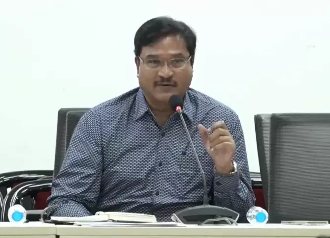
Hyderabad: As a more effective means to identify FTL and buffer zones of lakes and water bodies in and around the city, commissioner of Hyderabad Disaster Response and Assets Monitoring and Protection Agency (HYDRAA) A.V. Ranganath, who is also the chairman of the lake protection committee, on Monday met officials from irrigation and revenue departments, NRSA, state Remote Sensing Application Centre (SRSAC) and Survey of India.
The commissioner said that HYDRAA’s goal was not just protecting encroached ponds, but to work towards renewing and reestablishing them to their former state.
Officials stated that they are bringing new vigilance methods for ponds, government places, parks and other government-assigned spaces designated for public use so that they do not fall prey to encroachment. They said that HYDRAA is developing an app, which can locate the spots where encroachments are happening. People can also raise complaints and give suggestions on the app about any encroachments on lakes and water bodies.
The officials discussed clearing the debris from demolished sites and restoring the lake’s conditions. They will roll out the first phase of works at Madhapur’s Sunnam Cheruvu, Gaganpahad’s Appa Cheruvu, Kukatpally’s Nalla Cheruvu and at Bachupally’s Errakunta lakes.
Officials were asked to conduct surveys to figure out the precise number of lakes that are presently within the Outer Ring Road (ORR) limits, and how many of them are encroached. They have been directed to identify FTLs and the maximum water spread area of lakes based on 45 years of data by comparing the data of NRSA, SRSAC and irrigation department.
The officials examined the 2018 CAG report on lake encroachments. They also took stock of the procedures followed in other states for protecting lakes so that there is no room for any error.

