NGRI team likely made breakthrough in rescue efforts
A team of scientists from the National Geophysical Research Institute (NGRI) has likely played a crucial role in narrowing down the location of the eight workers, missing since the Srisailam left bank canal (SLBC) tunnel collapsed in Nagarkurnool district last week.

Hyderabad: A team of scientists from the National Geophysical Research Institute (NGRI) has likely played a crucial role in narrowing down the location of the eight workers, missing since the Srisailam left bank canal (SLBC) tunnel collapsed in Nagarkurnool district last week.
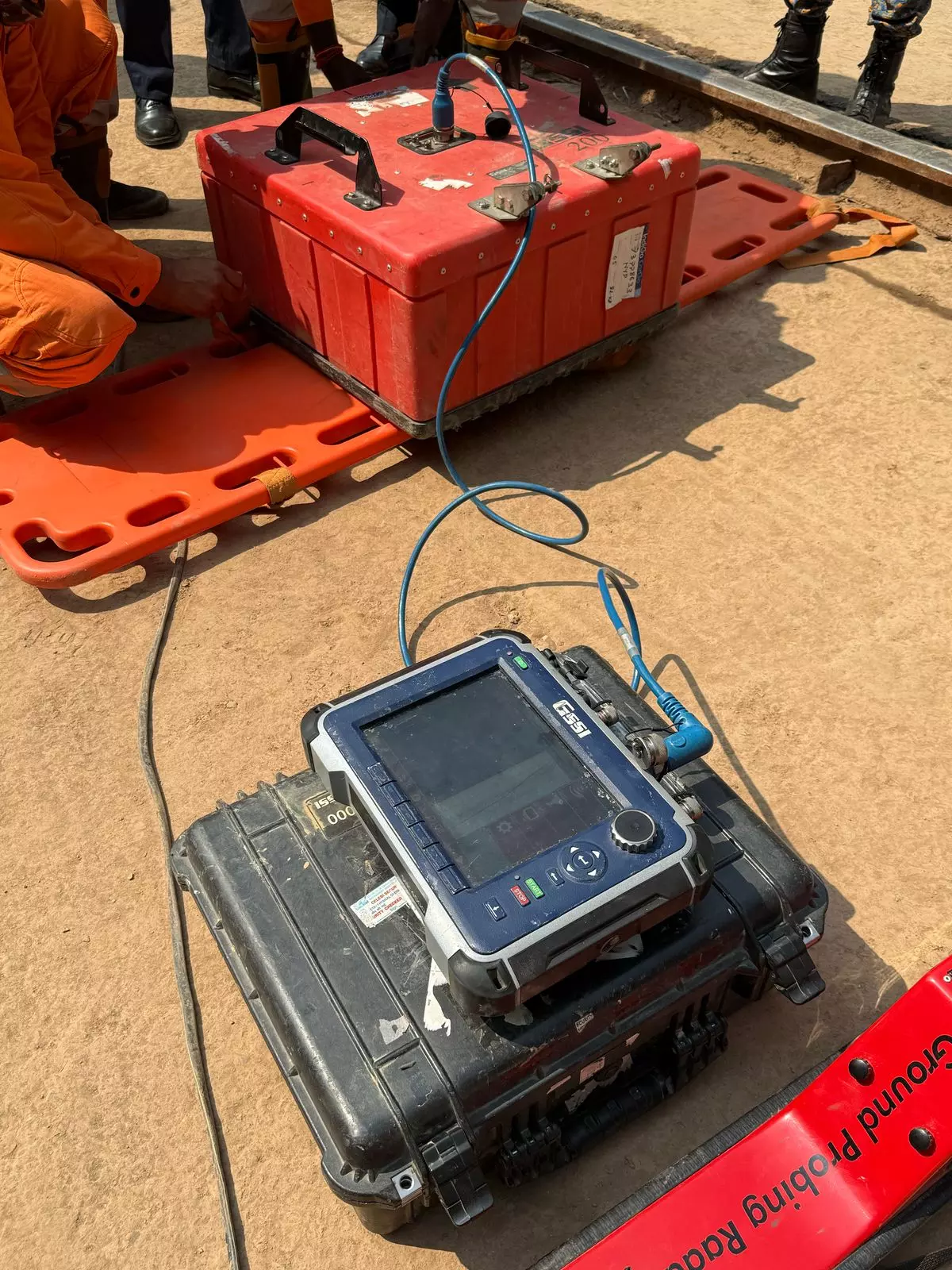
Using a ground penetrating radar (GPR), the scientists who completed a survey of the piled-up debris, identified five spots where they found ‘anomalies’ – material with properties differing from that surrounding these spots.
While none was willing to hazard a guess what these anomalies may represent, these spots may well turn out to be where the missing workers got buried when the tunnel collapsed on Saturday last.
To help rescuers in looking exactly where the anomalies were found, these spots were marked on the tunnel wall, it is learnt.
A GPR helps in generating an image – something like an ultrasound images generated at hospitals – and helps in broadly identifying various kinds of materials found in the ground. In this case, the data generated was about what was inside the debris, nearly 15 to 20 feet high, piled up at 13.9 km point of the tunnel where the collapse occurred.
It is learnt that the presence of large amount of metal, from the broken tunnel boring machine, and other debris made it a challenging task to study the data from the GPR. Even carrying the GPR over the debris was a tough task. In some spots where water was flowing over the debris, it had to be placed on a thermacol pontoons that are being used to traverse some sections of the tunnel.
Meanwhile, officials said that a team of scientists from the Geological Survey of India, the NGRI, and the National Remote Sensing Centre, went to the overground spot above the tunnel collapse site to study the topographical features and to look for recent changes.
The overburden (depth of rock on top of the tunnel), is around 500 metres and the equipment that was taken returned data upto 200 metres. Meanwhile, the NRSC will use satellite imagery data to check for any recent topographical changes and on Friday, it joined the others and went into the forest area for an on the spot assessment, officials said.

